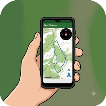
NaViViewer
A lightweight orienteering map viewer: use a map on your phone the way an orienteer uses a paper map.
On Google PlayFor Android phones
What it is
NaViViewer treats a digital map image the way an orienteer uses a paper map. Open a map from your phone, a link or the shared Map Library on punchmonkeyserver.com, then pan, zoom and turn it.
A live compass, north arrows and a true-to-scale bar help you navigate. It is a separate app from PunchMonkey: during a race, PunchMonkey can hand it the map for each leg (stage) of the course.

For Android phones. After it installs, open it from your apps.
What you can do
- Open a map three ways: from your phone (JPG, PNG or PDF), from a link (Google Drive links are converted for you), or from the shared Map Library.
- Pan, pinch to zoom, and twist to rotate, like a paper map.
- A live compass needle and true and magnetic north arrows. Tap to “set the map”: turn it so it lines up with north on the ground.
- A bearing readout at the top, in true or magnetic north.
- A scale bar worked out from the map’s scale and resolution.
- Auto-rotate: keep north up, or turn the map with your direction of travel.
- Maps from the Map Library open already calibrated (their scale and north are set), and you can share a calibration you make.
- Receives leg maps from PunchMonkey, with one tap to switch between the two apps.
What it looks like
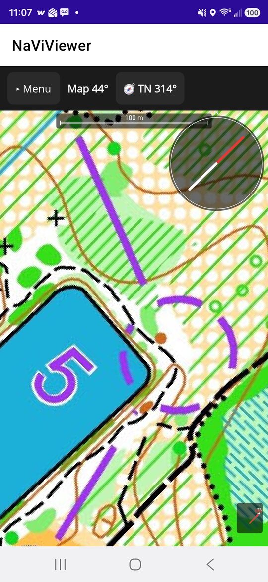
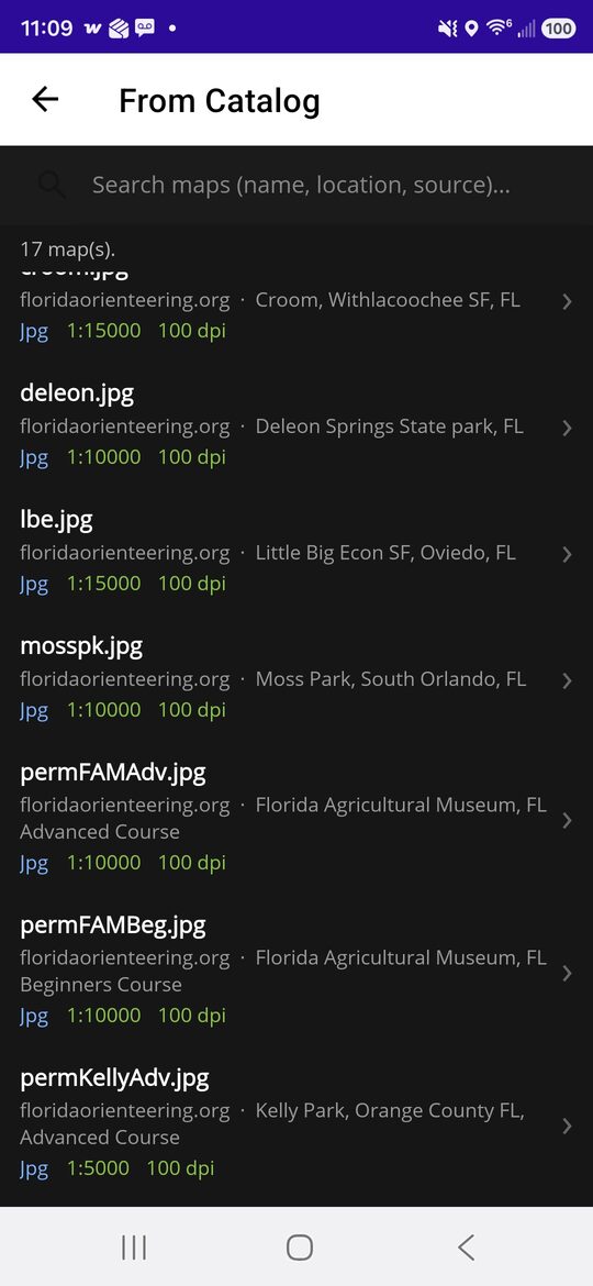
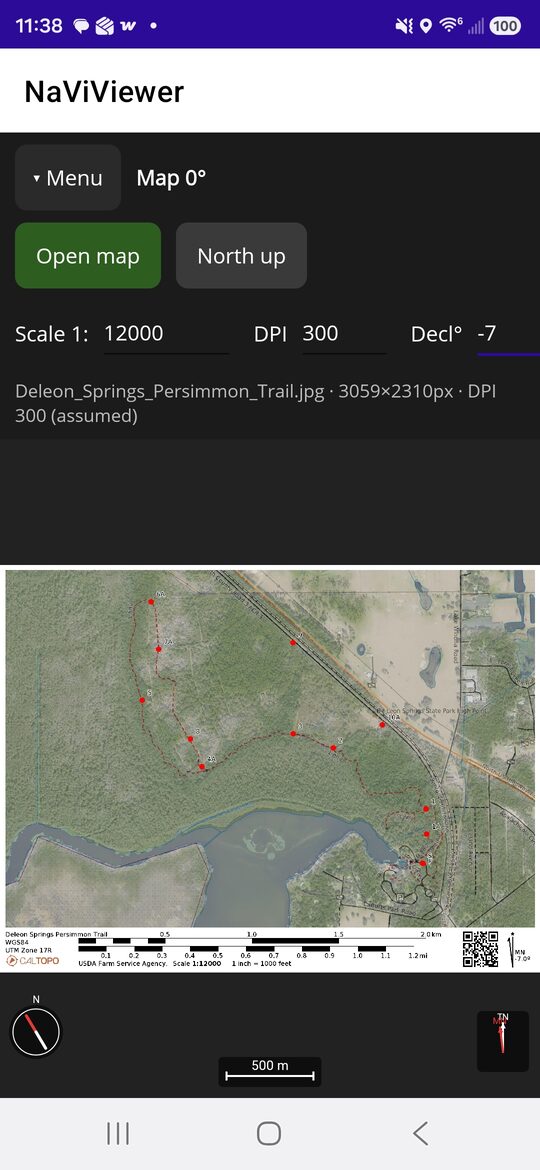
Who it is for
Orienteers, adventure racers, and PunchMonkey racers using a map on their phone. The Map Library holds Florida orienteering maps.