Curve number
An area-weighted composite SCS curve number from the covers, soil groups and areas of a watershed, using TR-55 Table 2-2.
What it is for
The SCS runoff relation needs one curve number for the whole catchment, but a real watershed is a mix of lawns, roofs, streets and woods on different soils. The Curve number calculator turns that mix into a single composite value, using the curve numbers of TR-55 Table 2-2 and weighting each by its area.
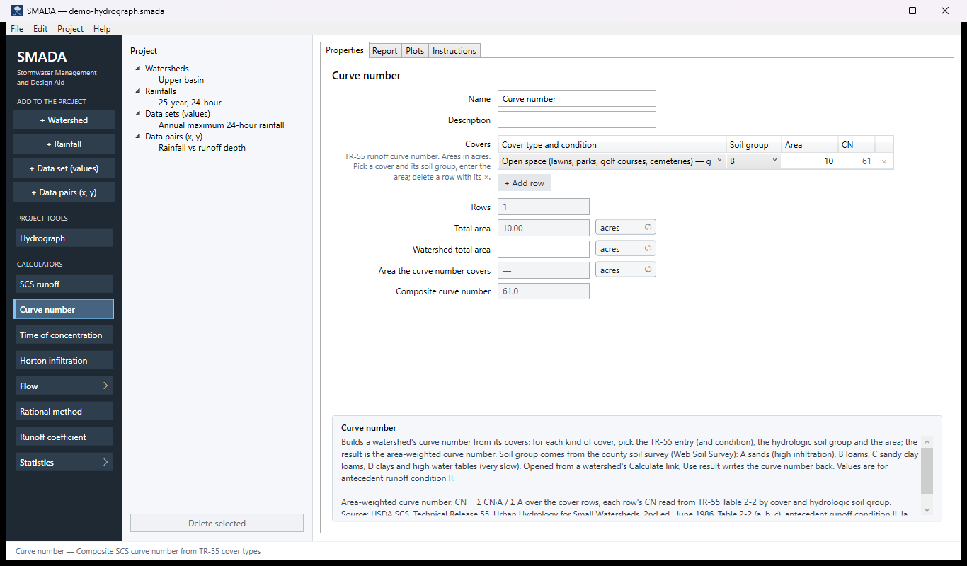
You enter one row per kind of cover: pick the cover (and its condition, poor, fair or good, where the table distinguishes one), the hydrologic soil group A to D from the county soil survey, and the area. SMADA looks up each row's curve number, shows it in the grid's CN column, and gives back the composite curve number, the number of rows that count, and their total area.
You can open it from the list of tools down the left side of SMADA, or from the Calculate… link beside any curve number in SMADA: on a watershed, on the SCS runoff calculator, or on the Time of concentration calculator. Opened from a watershed, it copies in that watershed's total and directly connected impervious areas and shows the Area the curve number covers, the total less the directly connected impervious area, so you can check the rows against it; Use result writes the composite back (Edit ▸ Undo puts the old value back). The composite stays blank until every row has a cover and an area greater than zero; until then Use result is unavailable, and its tooltip says what is missing. Add a row with the button under the grid; remove a row with its × (Edit ▸ Undo brings it back).
The Curve number tabs
Every item in SMADA has the same four tabs. These are captured from the program with the example values it opens with; select a picture to see it full size.
Curve number has nothing to draw, so its Plots tab is empty and is not shown.
Properties tab — where you enter values and read the results
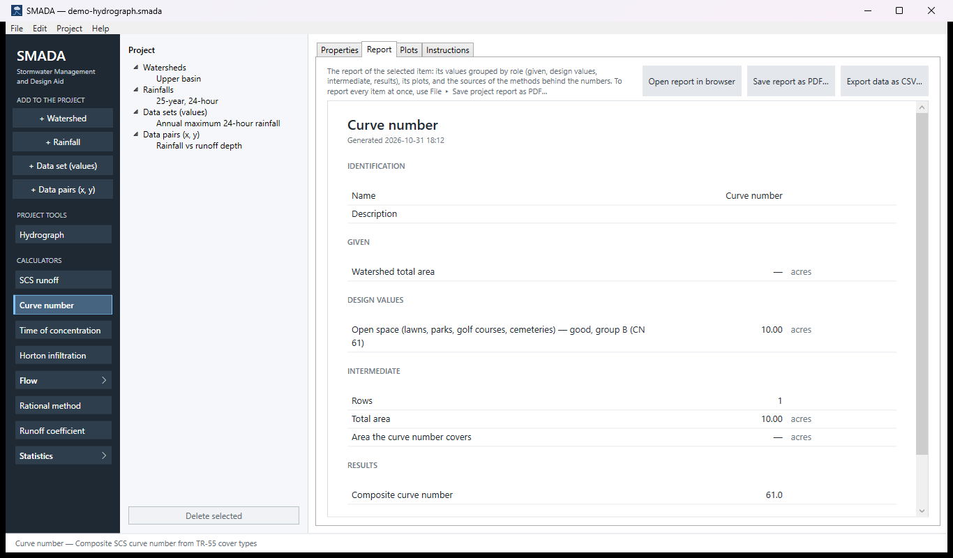
Report tab — the same values as a report, ready for HTML, PDF or CSV
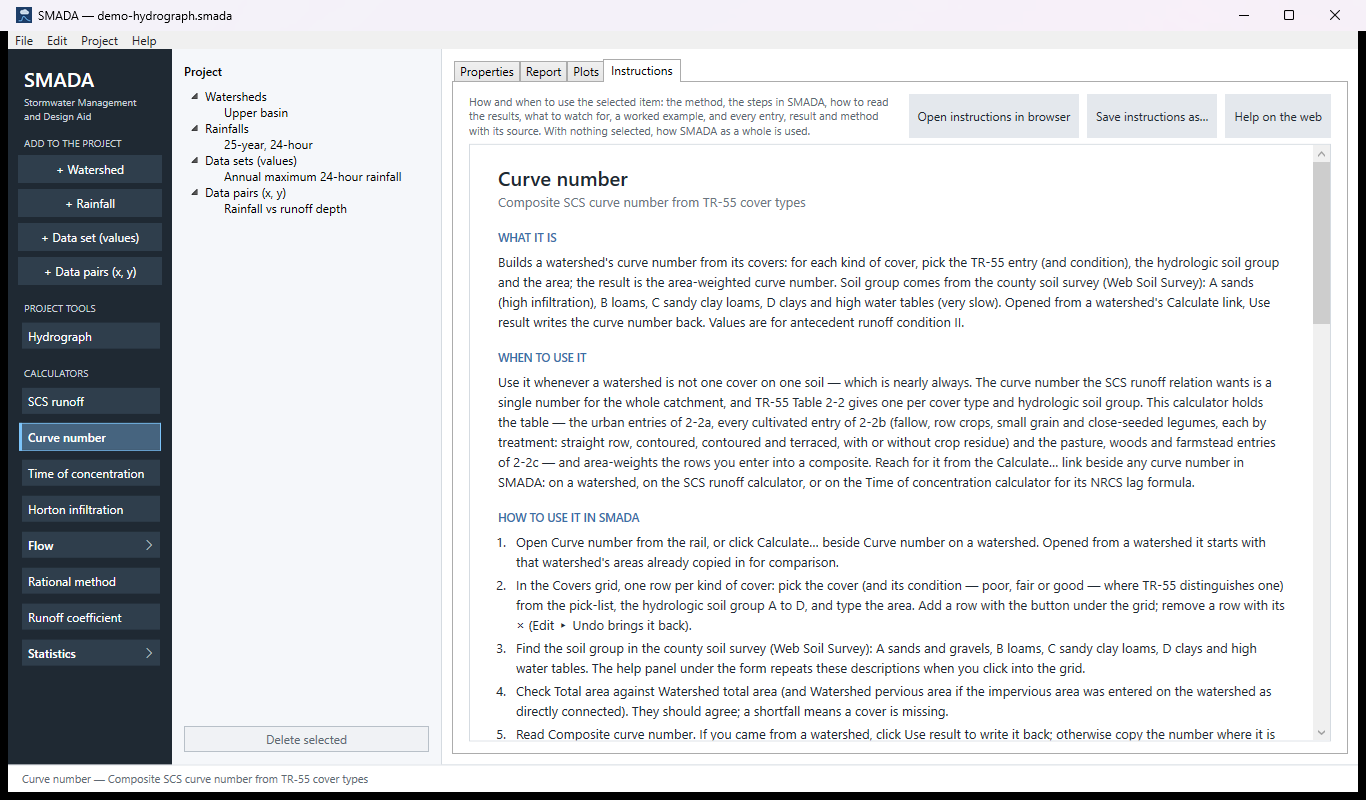
Instructions tab — the manual page in the program
How it calculates
The calculation is a table look-up per row followed by an area-weighted average. Areas are stored in acres; the curve numbers are dimensionless.
1. Look up each row
Each row names a cover entry from TR-55 Table 2-2 and a hydrologic soil group. The table holds one curve number per soil group for each entry, for antecedent runoff condition II and Ia = 0.2 S. SMADA carries the urban covers of Table 2-2a, the cultivated agricultural covers of 2-2b, and the pasture, meadow, brush, woods and farmstead covers of 2-2c. A few of the urban entries:
| Cover | Condition | A | B | C | D |
|---|---|---|---|---|---|
| Open space (lawns, parks, golf courses, cemeteries) | Poor | 68 | 79 | 86 | 89 |
| Open space | Fair | 49 | 69 | 79 | 84 |
| Open space | Good | 39 | 61 | 74 | 80 |
| Impervious: paved parking lots, roofs, driveways | — | 98 | 98 | 98 | 98 |
| Urban district: commercial and business (85 % impervious) | — | 89 | 92 | 94 | 95 |
| Residential, 1/4 acre (38 % impervious) | — | 61 | 75 | 83 | 87 |
| Woods | Good | 30 | 55 | 70 | 77 |
The full table, 52 entries, is in the cover pick-list, and the CN column of the grid shows the value looked up for each row. The residential and urban-district entries already include their typical impervious percentage, so do not add a separate impervious row for the same lots.
The soil groups are those of NRCS:
- A: deep, well-drained sands and gravels; minimum infiltration above about 0.30 in/hr.
- B: silt loam and loam; 0.15 to 0.30 in/hr.
- C: sandy clay loam, or a layer that impedes drainage; 0.05 to 0.15 in/hr.
- D: clays, a permanent high water table, a claypan, or shallow soil over rock; below 0.05 in/hr.
2. Area-weighted composite
CNc = Σ (CNi × Ai) / Σ Ai
- CNc
- composite curve number, dimensionless (shown as Composite curve number, one decimal)
- CNi
- Table 2-2 curve number for row i's cover and soil group
- Ai
- area of row i, acres
A row is whole when it has a cover found in the table and a positive area. The composite is computed only when every row is whole; while any row is unfinished, or there are no rows, it is left blank. This is on purpose: averaging only the finished rows would give a confident number for the wrong catchment. Rows counts the whole rows.
3. Area checks
Atotal = Σ Ai over the whole rows
ACN = max(Aws − Adcia, 0)
- Atotal
- sum of the areas of the whole rows, the same rows the composite weights, acres (shown as Total area)
- Aws
- Watershed total area: copied from the watershed the calculator was opened from, or typed, acres
- Adcia
- that watershed's directly connected impervious area, acres; zero when the calculator was not opened from a watershed
- ACN
- Area the curve number covers, acres; a dash while Watershed total area is blank
The curve number applies to everything except the directly connected impervious area, which a watershed handles separately at its own abstraction (TR-55). So Total area should equal Area the curve number covers. Impervious area that is not directly connected, such as roofs draining onto lawns, belongs in the rows as a cover of its own at CN 98. A shortfall means a cover is missing. SMADA shows the numbers side by side but does not force them to agree.
A note above the form names the first incomplete row (choose a cover; a cover not in the table; enter an area) and says the composite stays blank until every row has a cover and an area greater than zero, for example "Row 2: enter an area. The composite stays blank until every row has a cover and an area greater than zero." With no rows at all it asks you to add one.
When weighting misleads
TR-55 cautions that weighting curve numbers understates runoff when a small impervious fraction drains straight to the outlet, because the weighted value spreads the pavement's quick runoff over the whole area. For that case, enter the directly connected impervious area on the watershed and let the rows here cover only the rest.
The table is checked
The calculation check of 2026-10-15 compared every row of TR-55 Tables 2-2a, 2-2b and 2-2c with SMADA's pick-list: all 66 rows, 264 values, match, and the fourteen 2-2b rows the check found missing (row crops and small grain with crop residue, and some contoured and terraced rows) were added the same day. Only Table 2-2d (arid rangelands) is not offered.
Checking the example by hand
The calculator opens with one row: open space in good condition on soil group B, 10 acres, CN 61, so Rows is 1, Total area is 10.00 acres and the composite is 61.0. Watershed total area is blank, so Area the curve number covers is a dash. Add paved parking, roofs and driveways on group B at 2 acres (CN 98):
CNc = (61 × 10 + 98 × 2) / (10 + 2) = 806 / 12 = 67.2
and Total area becomes 12.00 acres. Type 12 in Watershed total area and Area the curve number covers reads 12.00, matching the rows.
Sources
- USDA SCS, Technical Release 55, Urban Hydrology for Small Watersheds, 2nd ed., June 1986, Table 2-2 (a, b, c), antecedent runoff condition II, Ia = 0.2 S.
All SMADA calculators · Get SMADA free for Windows from the Microsoft Store